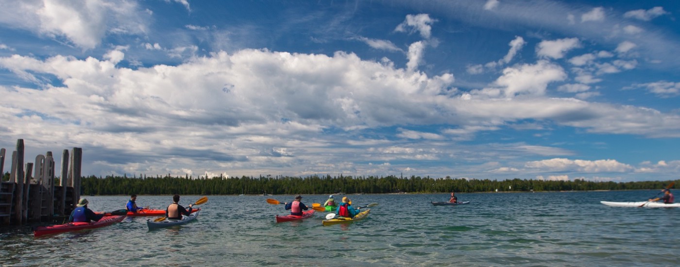
• Kayaking the Les Cheneaux Islands in Lake Huron
  • Crisp Point Lighthouse on Lake Superior
  • Shipwreck remains in Lower St. Marys River
  • View of Mackinac Bridge, Lake Michigan
To the Western U.P. Water Trail To the Hiawatha Water Trail To the interactive map

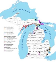
Michigan’s Eastern U.P. Water Trails

Welcome!  If you are looking for great paddling opportunities, you have found the right place!  Here you can browse our website for regional information, use our interactive map to plan your trips,  and have an opportunity to tell us about your adventures with your own pictures and stories.  The Eastern Upper Peninsula region offers access to three of the five Great Lakes, the St. Marys River, and many more opportunities on inland lakes and rivers.
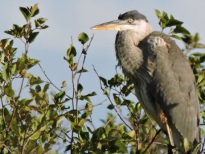
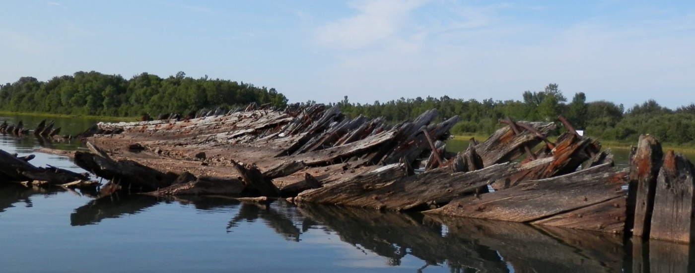
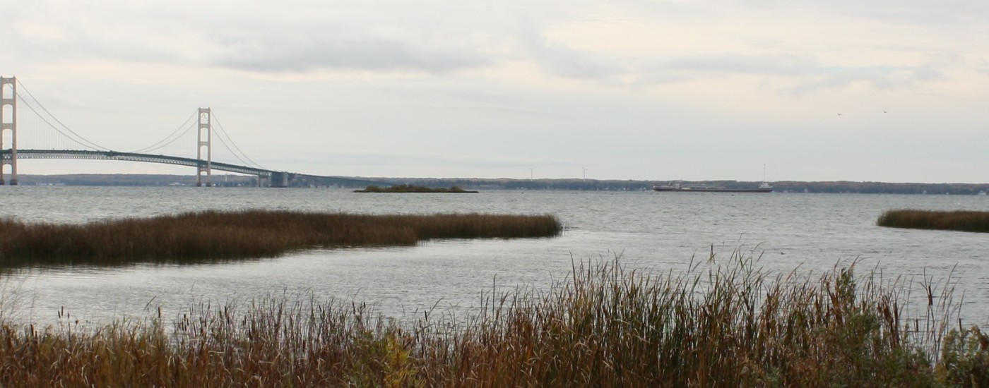
Photo Gallery

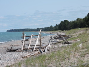
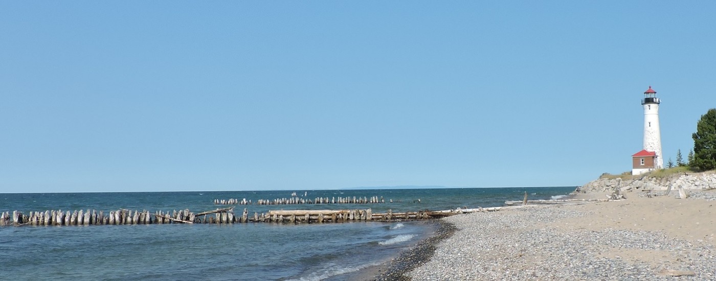
Views of the Eastern Upper Peninsula Water Trails and things one might see.

read more...

Share Your Experience

Here is a place to tell us about your adventures.

read more...

Financial assistance for this project was provided, in part, by the Michigan Coastal Zone Management Program, Office of the Great Lakes, Department of Environmental Quality, under the National Coastal Zone Management Program, through a grant from the National Oceanic and Atmospheric Administration, U.S. Department of Commerce and the Sault Ste. Marie Tribe of Chippewa Indians.

Please Note:
By using this website you certify that you understand, accept and agree to the "Michigan Great Lakes Water Trails Safety Statement."